One of the least known spots in Rioja
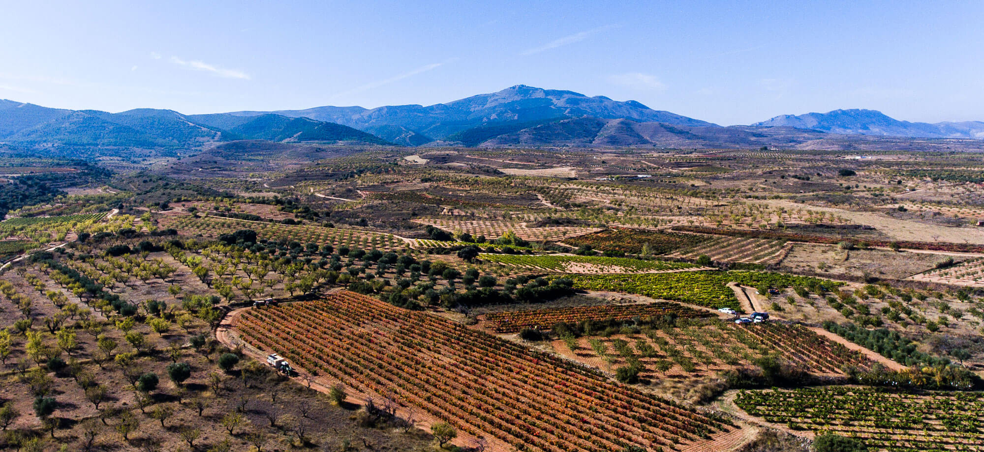
Spectacular image of the Cidacos Valley in the Quel area, where the Queirón vineyards are located.
The Cidacos valley constitutes one of the least known and most authentic parts of the Rioja Oriental, one of those places where silence and deepness offer themselves up as the best allies for discovering awesome landscapes marked by geological convulsions stretching back 250 million years before our era and which systematically define the outline of the terrain and the features of the soil from which the grapes used in Queirón wines spring.
///CLICK HERE IF YOU WANT TO LEARN MORE
Terrain
The Valle del Cidacos can be divided into two large geographical levels which, moreover, are totally clear for the eye to see and which can be perfectly understood by tracking back or following the flow of the river course of the Cidacos itself:
1) To the southeast, the upper reaches of the river crosses the Cameros mountain range (part of the Sistema Ibérico) and the valley sides climb to a height of 1,400 metres in which the river creates a very deep, enclosed valley which runs from Oncala to Arnedillo.
2) To the northeast, the lower reaches of the river cross the Ebro Basin, in which the town of Quel is located and consequently, the Queirón vineyards. The maximum heights of the Sierra de Yerga rise to just over 1,100 metros, Isasa (1,300 m.) and the Sierra de la Hez (1,300 m.). The river, much more placid, flows through a wide, flat-bottomed valley. Quel is at the heart of the so-called ‘Hoya de Arnedo’, which is separated from the rest of the villages by a small and rather odd elongated hillock running east to west, which seems to protect the Arnedo road as far as Autol and is then lost in one of the spurs of the Sierra de Yerga.
The basin of the river Cidacos covers the surrounding land fairly evenly, dominated by the scrub area (31 % of the whole river basin), woods (26%), cultivated land (25%, including irrigated and rain fed crops and fruit trees), meadows and pastureland (11%). The headwater area is dominated by dense clumps of scrub land and woods, while the lower stretch is primarily occupied by rain fed orchards and mixed rain fed and irrigated crops.
The soil
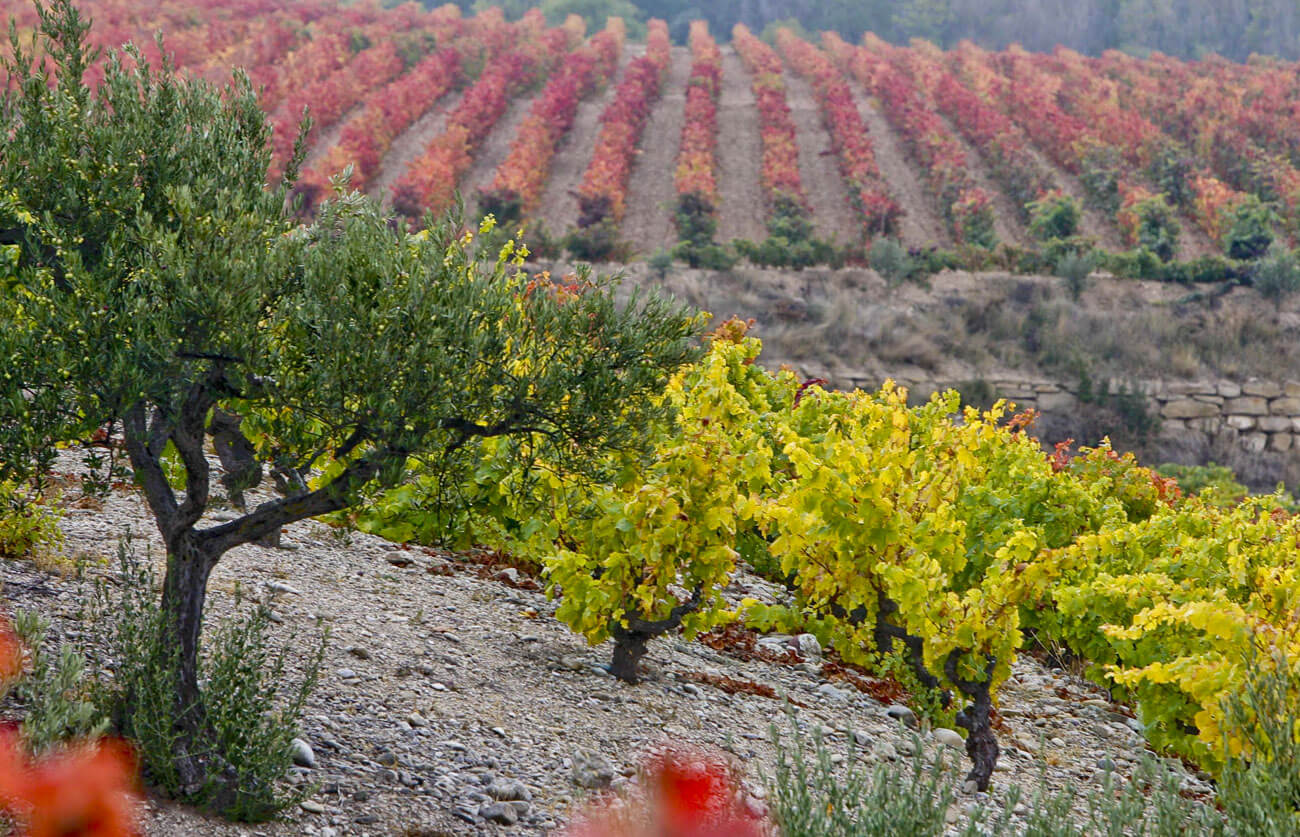
To understand the soil is to understand a large part of the personality of each vineyard, of each terroir, even the idiosyncrasies of each vine plant, its behaviour and the character of its wine. The composition of the soil in the vineyard is one of the distinguishing factors and the soil in the Valle del Cidacos is the repository of geological activity of a sedimentary nature; that is, the rocks which appear throughout its territory have their origin in depressions in the earth’s surface called sedimentation basins (seas, lakes, etc.…) which have gradually sunk due to the build-up of silt over time.
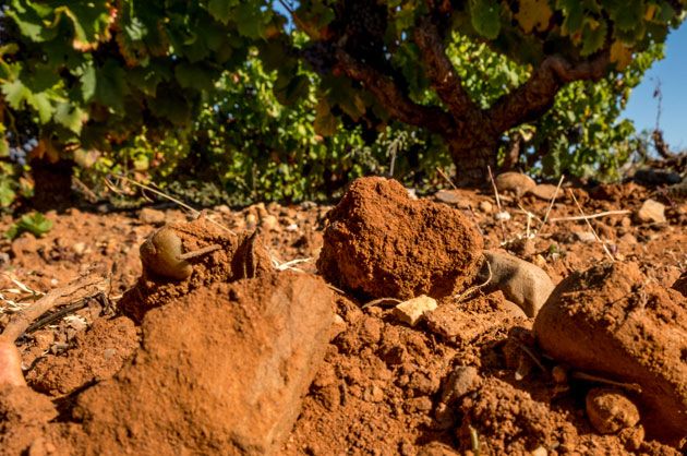
The soil of the Cidacos Valley, with the personality that the stones give it.
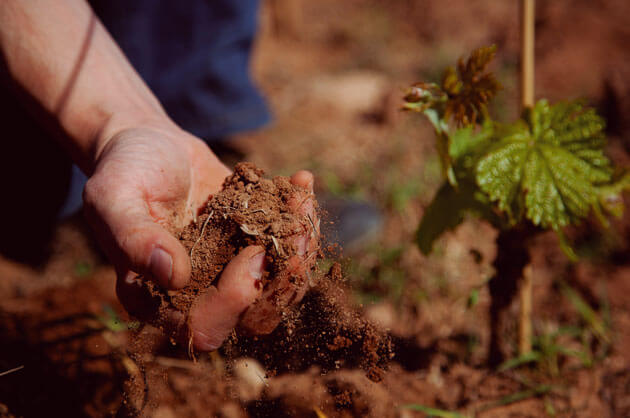
The complexity of our wines is also explained by the characteristics of the soil.
The climate
The moderate altitudes at the head of the valley and the gradual distancing from the influence of the rain fronts sweeping in from the northwest mean that there is very little and unevenly distributed rainfall. The winters tend to be very dry and cold, with a few falls of snow, while the summers are hot, with frequent heatwaves, typical of the Continental-Mediterranean pattern. Calahorra is one of the driest places in the basin with a maximum recorded value of 297 days/year without rain.
Average annual rainfall only goes over 600 mm at the head of the valley, ranging between 750 mm/year in the mountain zone and 435 mm/year in the lower stretches of the river basin. The heaviest rainfall comes in the spring and autumn and the lowest in summer.
The average annual temperature varies between 7 and 8º C in the mountain area and 12 and 13º C in the final stretch of the basin. The hottest temperatures are recorded in the month of August and the lowest in January. In summer the minimum temperatures have come to register values of around –13º C in the head (Munilla weather station), while in the Arnedo valley the minimums are around –10,5º C. In contrast, during the month of August, maximum temperatures in the Arnedo valley have reached as high as 40.5º C, while in Munilla they have recorded a maximum of 39º C.
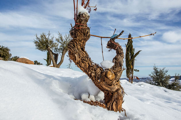
The snow arrives almost every winter at the La Pasada vineyard, located 800 meters above sea level.
